
Description
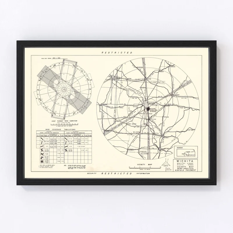
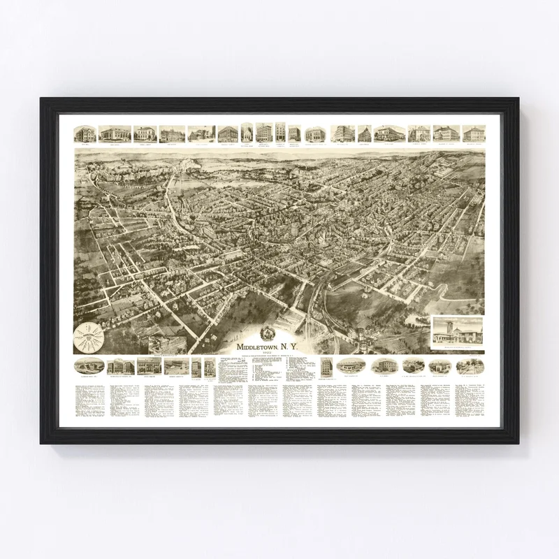
Discover a piece of Wichita’s history with our meticulously restored 1952 vintage map print. Perfect for history buffs and anyone who loves local charm, this map showcases Sedgwick County, Kansas in stunning detail. It makes a fantastic gift and a conversation starter that brings stories of the past right into your home or office.
Our high-quality materials ensure that each print is crafted to last. Whether you choose a framed version made from solid wood or an unframed print on premium matte paper, we’ve got you covered. Our canvas prints use polycotton stretched over sturdy wood bars, ready to hang as soon as they arrive at your door.
This traditional yet classy piece adds character wherever it’s displayed—from living rooms to workplace lobbies—and celebrates the unique heritage of Wichita with style and grace. Ideal for those who appreciate artistry and local history alike, this vintage map is sure to delight anyone lucky enough to receive it.
Reviews
There are no reviews yet.