
Description
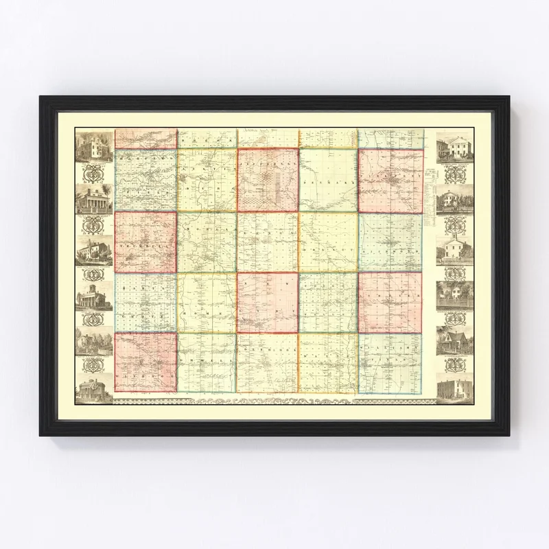
Take a step back into history with our beautifully restored 1856 map of Ashtabula County, Ohio. Perfect for the local history enthusiast or as a unique nod to home, this map is more than just decor; it’s a piece of heritage. Whether you’re familiar with charming towns like Ashtabula, Conneaut, and Geneva or new to the area’s rich tapestry of stories, this print sparks curiosity and conversation.
Every detail has been carefully preserved through digital restoration and printed on high-quality materials. Choose from hand-constructed canvas on solid wood stretcher bars or select an unframed version on premium matte paper—the choice is yours! Each piece comes ready to hang straight out of the box for easy display in any room.
The classic design blends well in both home and office settings while paying tribute to Ohio’s past. A perfect gift or meaningful addition for anyone passionate about their roots or eager to commemorate Ashtabula County’s history.
Reviews
There are no reviews yet.